Sitting between the Tet and Vallespir valleys and at 2461m high, Pic Gallinasse stands its ground in the Canigou Massif. Needless to say, this hike is not for the faint hearted or those with a bad knee!
Peak: Pic Gallinasse
Distance: 11km
Ascent: 3hrs, 900m approx

You can either view the hike on Komoot (just click on the map above) or download the GPX track here.
The 6 hour hike departs from the Refuge de Batère (a 20 minute car journey from La Taillede) and follows the same route back down, allowing you to fully take in the breathtaking views and take advantage of the picturesque photo spots.. without burning quads.
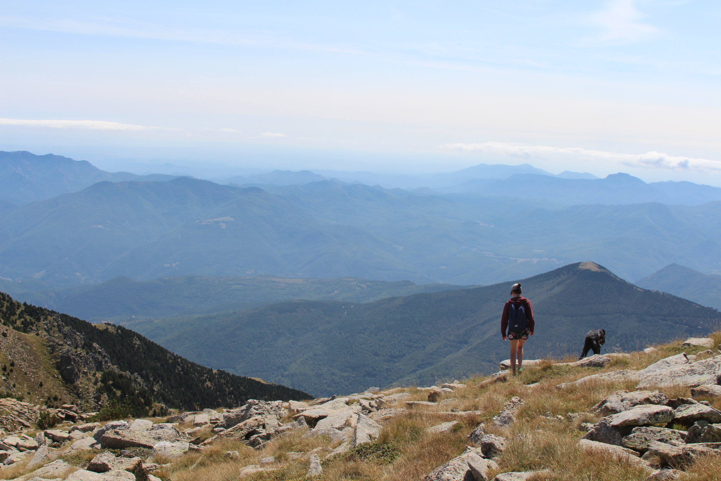
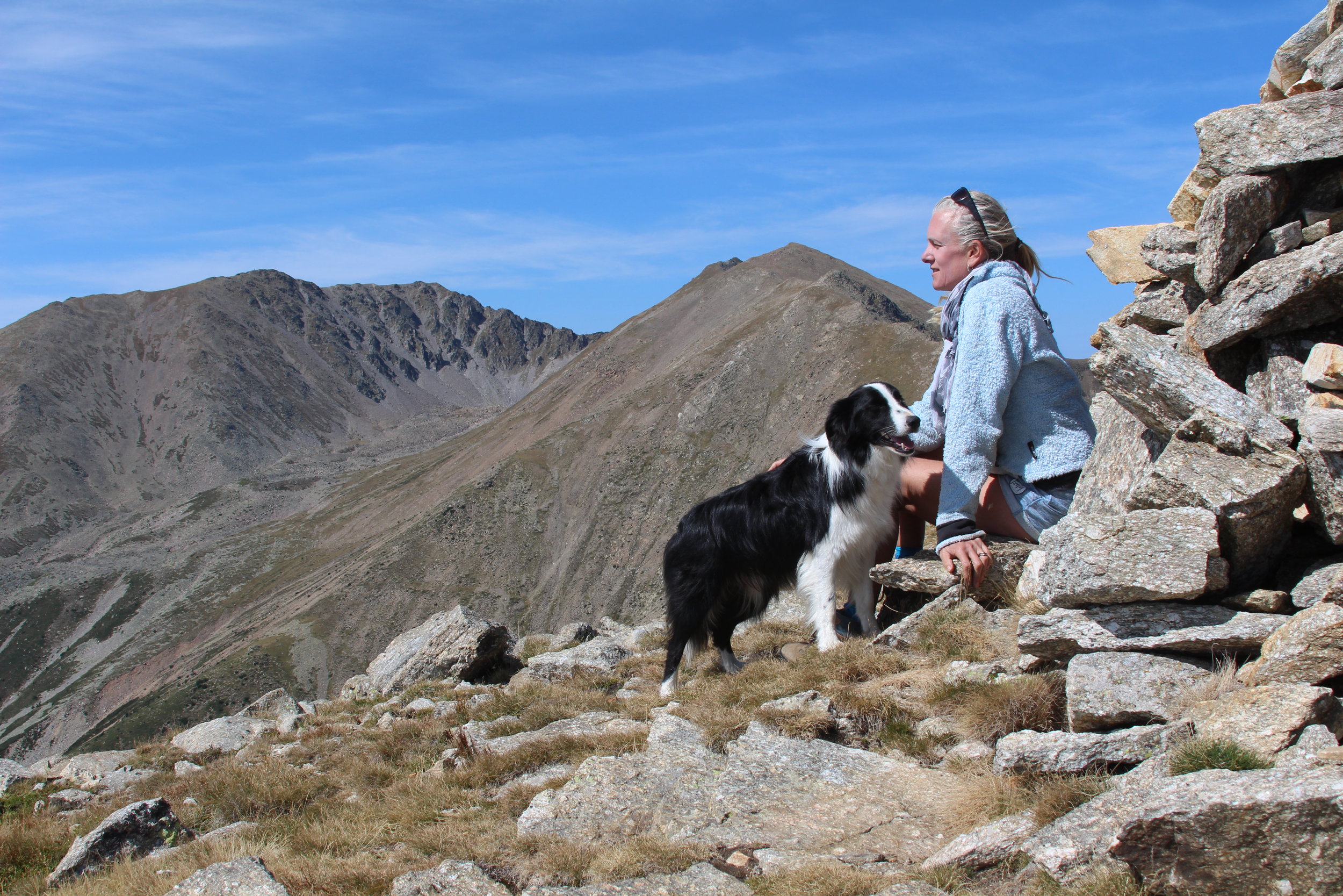
Once you arrive at the Pic de Cincreus, the rest of the hike follows the mountain ridges, so you'll see some impressive drops and rock formations.
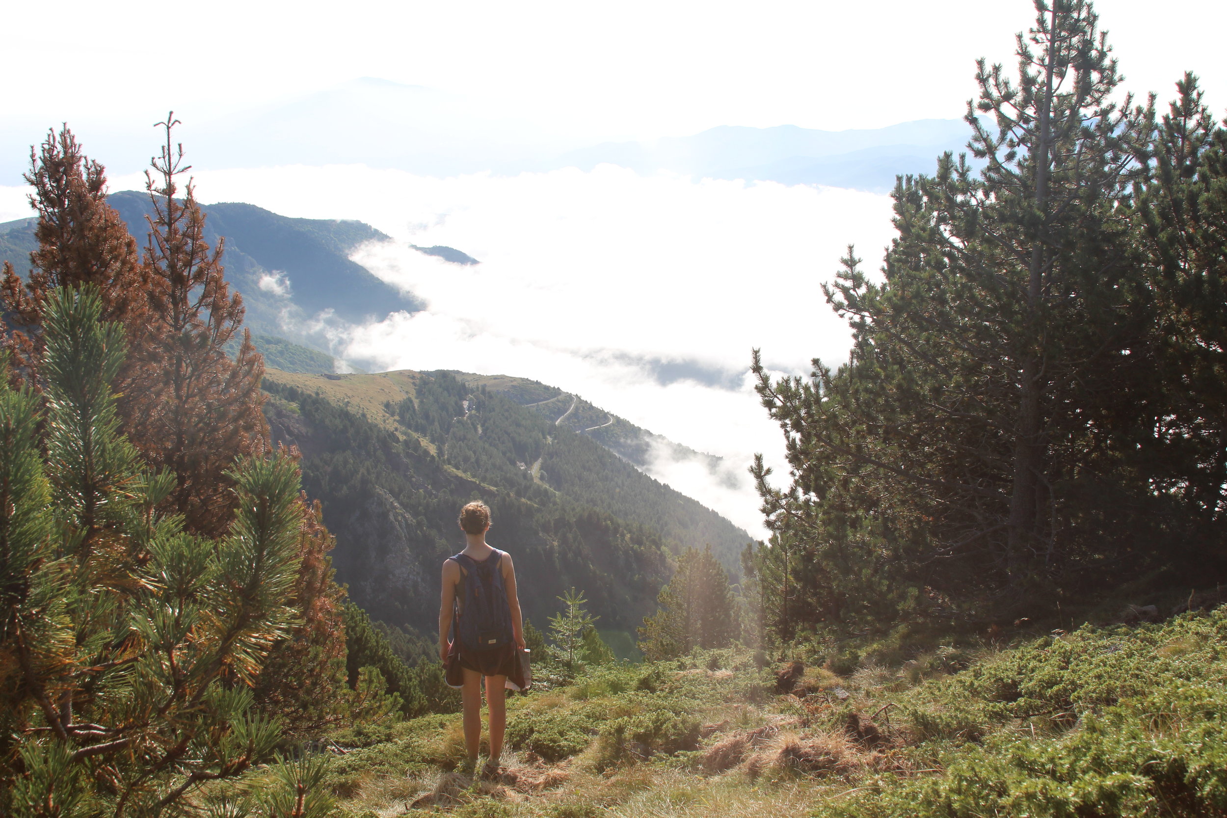
The terrain is varied, with expanses of field and woods initially, followed by steep, rocky intervals. Once you get to the top you'll be able to fully make out peaks such as Tres Vents and Roc Negre, with the infamous Canigou mountain a little further in the background.